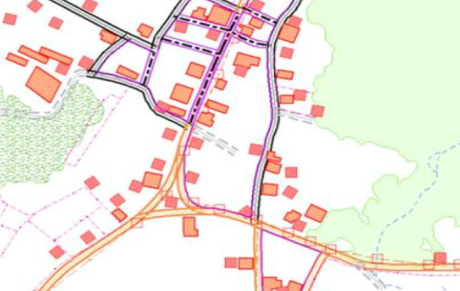
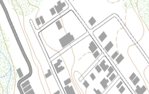
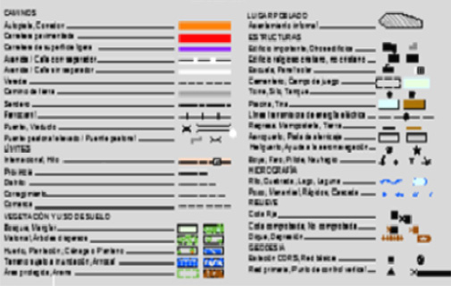
Topographic Mapping
VGS Team of Engineers is fully familiar with Mapping standards and cartographic rules. VGS has produced topographic maps with map scale 1:5000 from orthorectified imagery with full-fledged symbology. Data capture of cultural and natural features like roads, buildings, streams, water bodies and utility features from Orthophotos of aerial and Satellite Imagery. Edited as per Cartographic point of view and applied client approved symbology finally topographic maps will be produced.