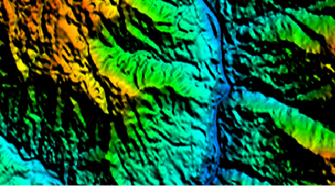
Digital Terrain Model (DTM)
DTM (Digital Terrain Model)
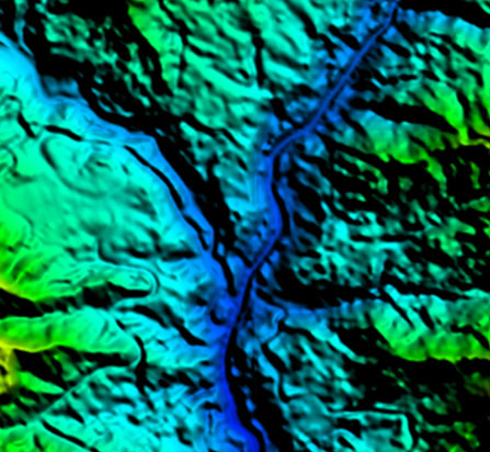
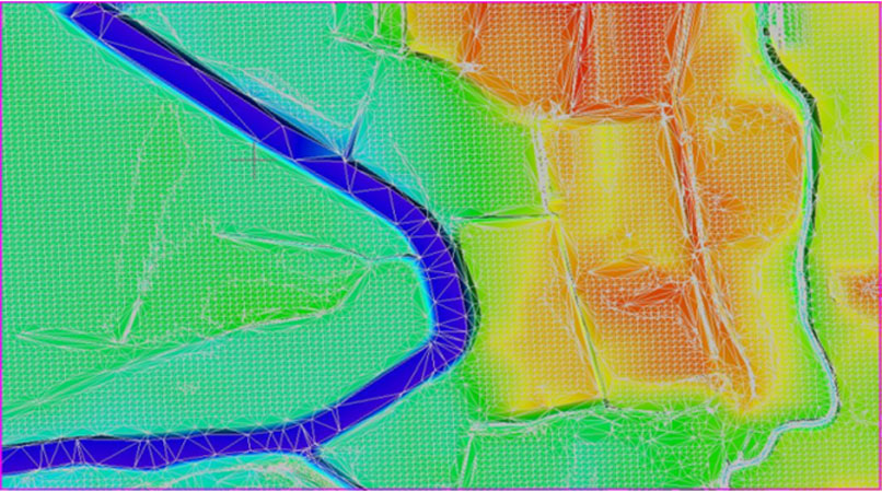
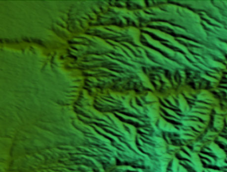
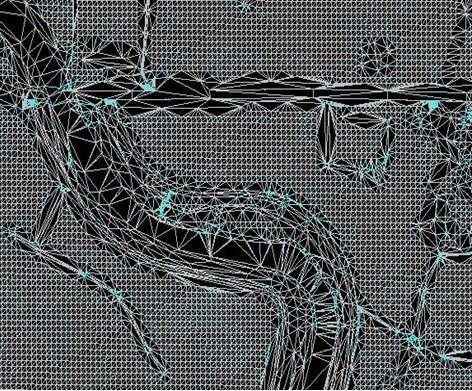
VGS has capabilities to extract Digital Terrain and Digital Surfaces by stereoscopic and autocorrelations methods at various mapping scales and produce the information as per the client’s requirement. Our experienced team can able to produce accurate data with cost-effective methods for client’s planning and decision making. Team skills have been upgraded as per the latest available technologies. The auto generated DTM has been edited by adding sufficient break lines to fit the data to terrain morphology. We also ensure the constant heights for DTM points inside the lakes and sea areas. Some type of projects includes Breaklines and masspoints collection for different purposes.
We utilise in-house developed quality check programmes and procedures to exceed the client requirement. Our photogrammetry team members are experts in manual contouring. Final DTM data has been submitted in different formats line ASCII, TIN, ESRI ASCII grid and GeoTiff, Img.