LiDAR
LiDAR Mapping
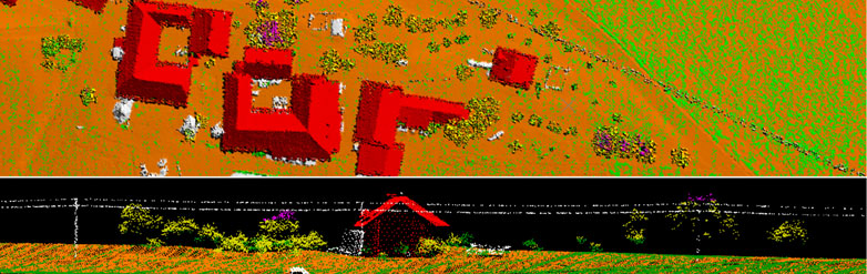
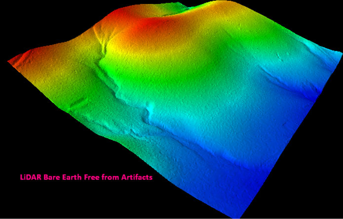
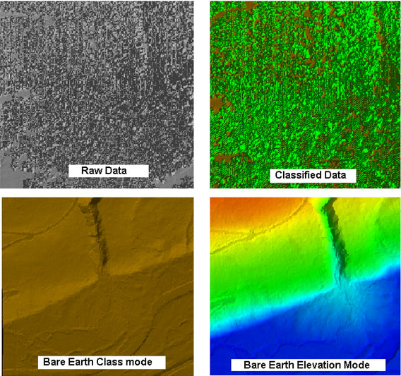
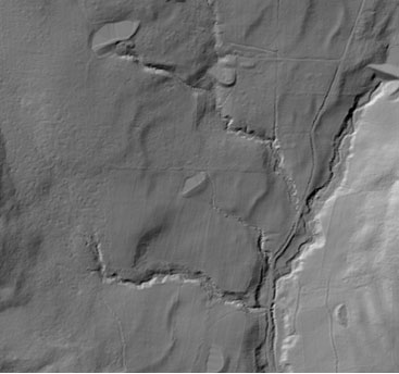
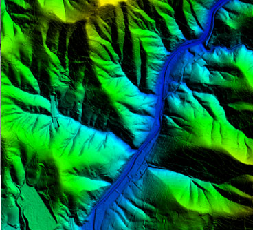
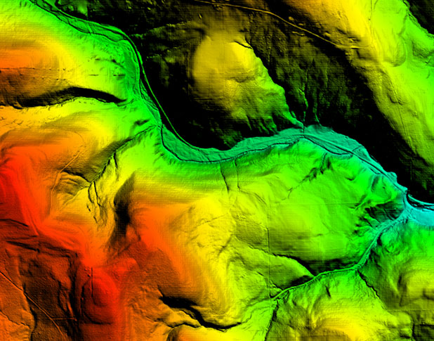
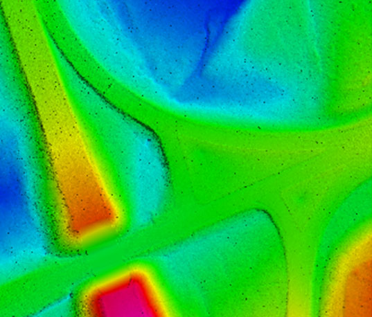
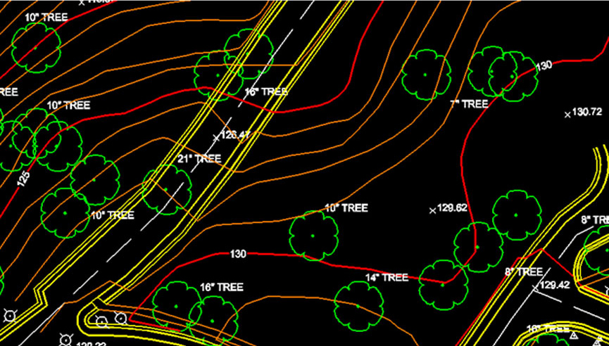
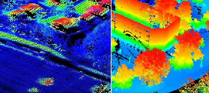
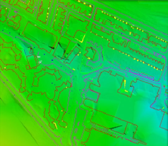
VGS provide Fast and accurate LiDAR (aerial/Terrestrial and mobile) Filtering, classification and vectorization that meet the customer requirement. We have completed many projects like Bare Earth creation, Contour generation, Vector Maps, Corridor maps and Electrical network mapping using LiDAR data.VGS has been following below specific broad steps in Classification of LiDAR.
- Filtering and Recovery of valid data from other classes.
- Cleaning of each class by transferring the unwanted data to other classes.
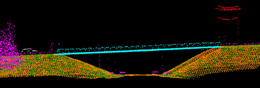

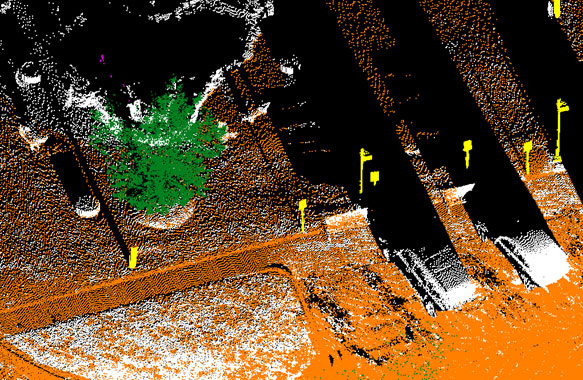
Recovery of valid ground points from other classes at road edges, embankments, along the streams and below vegetation areas. Checking and recovery for missing vegetation points from unclassified and vegetation classes and same time transfer of unwanted points to other respective Classes.
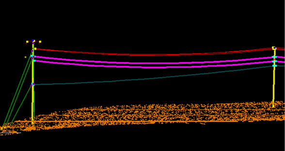
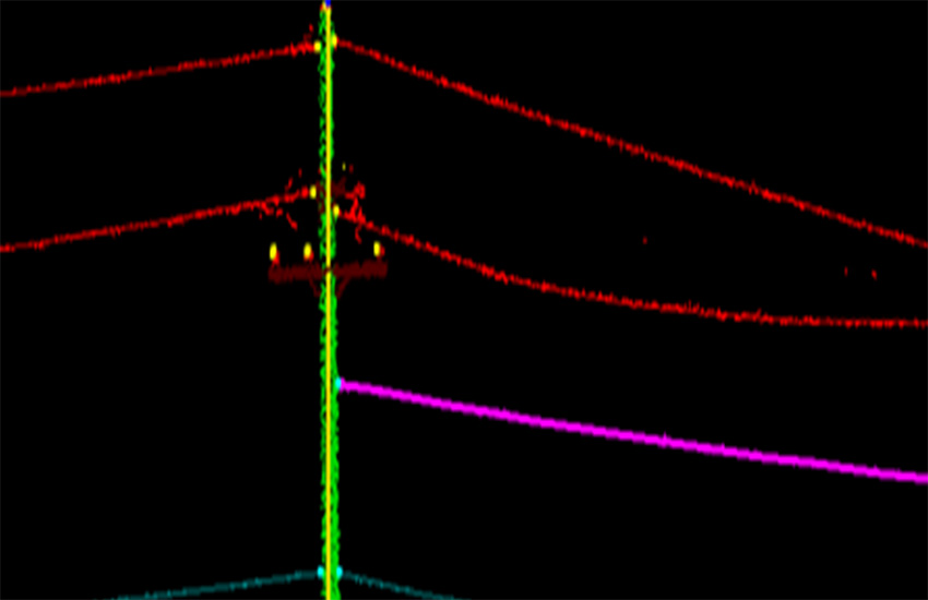
Manual and semi automated methods have been used while classifying the Distribution power lines, secondary lines, utility poles, pole- features, Guy wires, all available power line, Secondary line and Guy wire in to their respective classes.
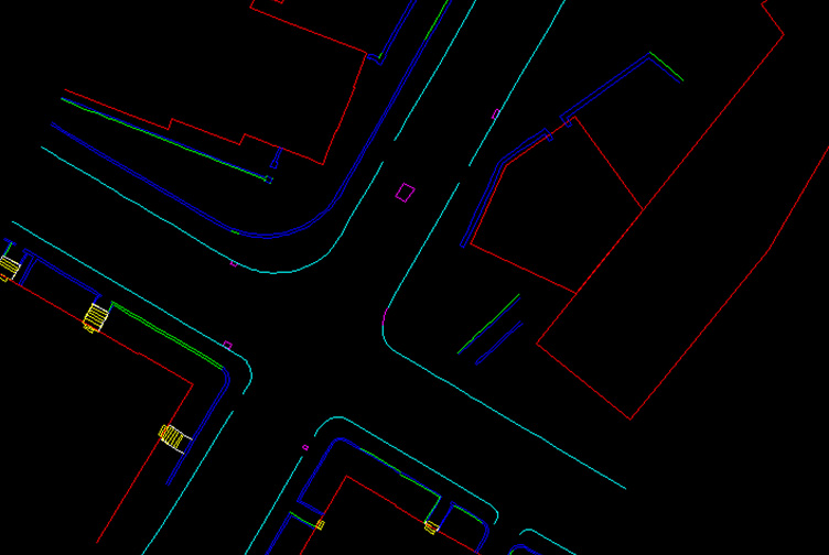
Power line features has been vectorized with respect to LiDAR point cloud. Distributed power lines, Secondary lines, Guy wires and edge of roads.
Our major areas of expertise lies in the below activities.