Mobile LiDAR
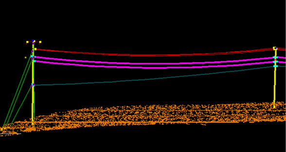
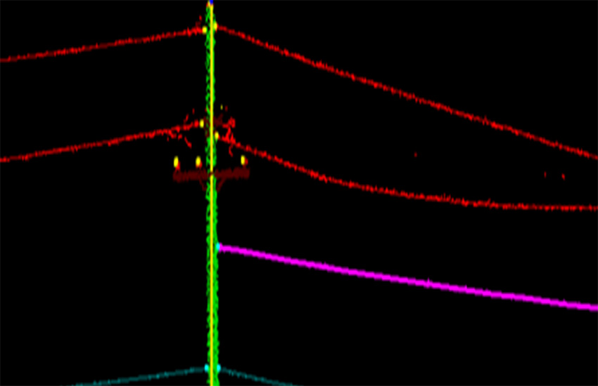
Powerline Mapping
VGS has delivered more than 5000 linear km of powerline vector mapping and Our team has expertise in classification and vectorization of Electrical network mapping. VGS has customized specific tools for classification and vectorization of Distribution power lines, secondary lines, utility poles, pole- features, Guy wires. Using our in-house tools the conductor attachments are automatically generated at end of the conductor.
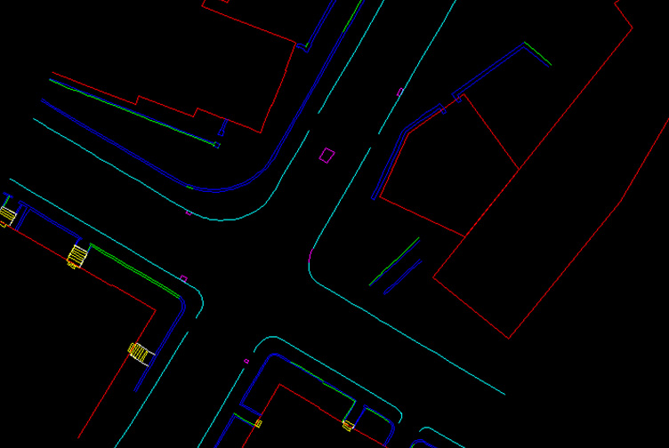
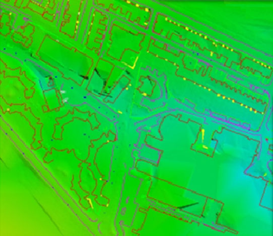
Vector Mapping
VGS has produced Vector map of university area by using Mobile LiDAR data. LAS scan have classified our LiDAR Specialist and then the features like building, roads, sidewalks, curbs have been compiled.