Photogrammetry
Home / Photogrammetry
Photogrammetry
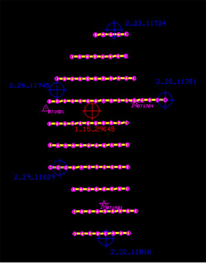
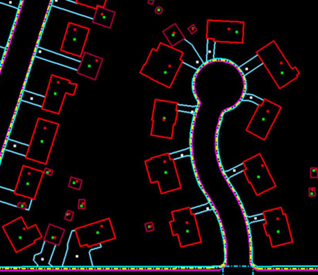
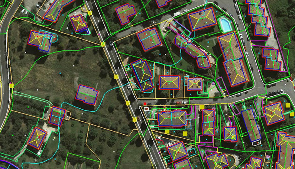
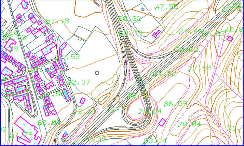
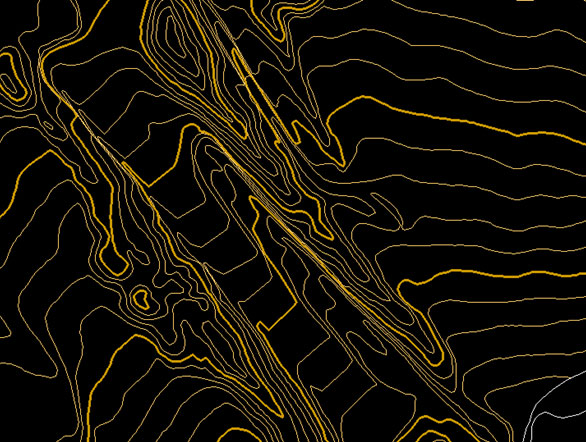
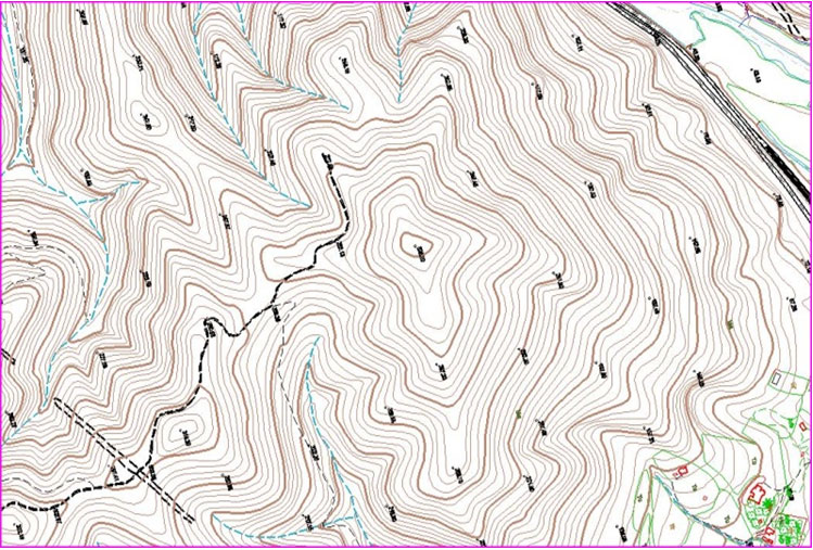
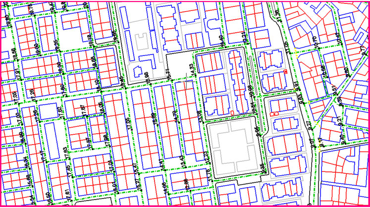
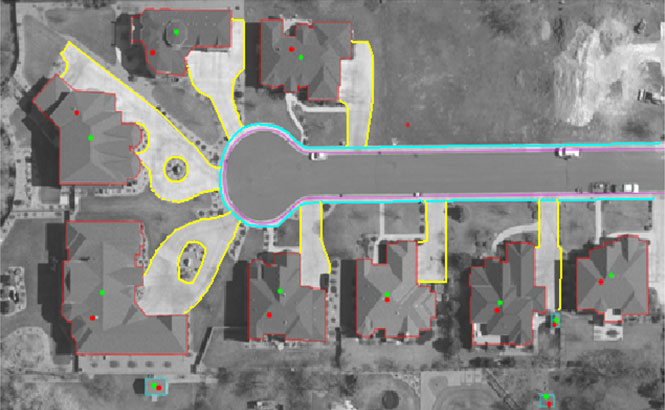
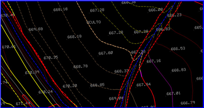
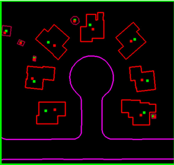
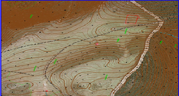
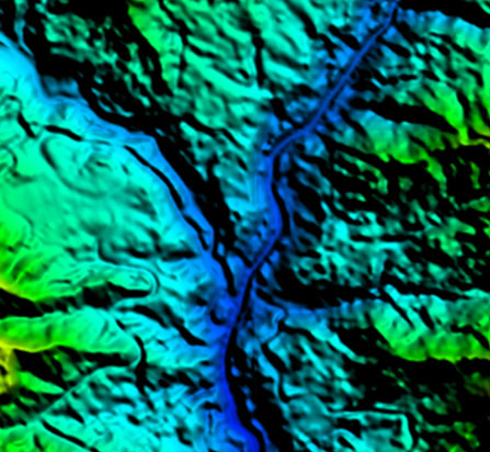
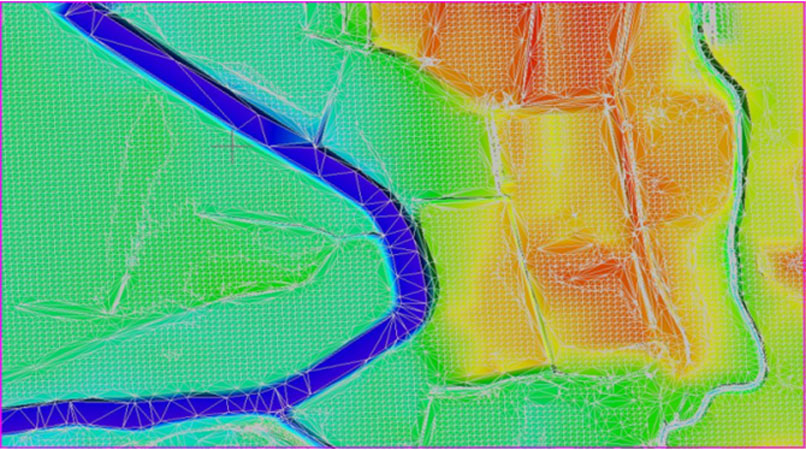
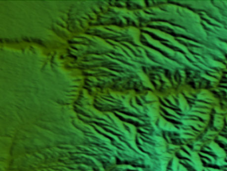
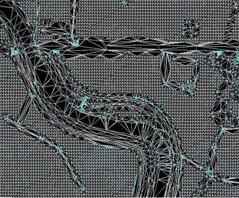
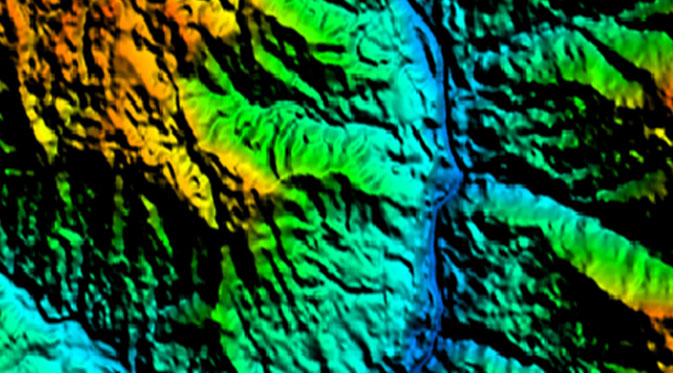
VIVID GEOSPATIAL SERVICES (VGS) has an expertise team of Photogrammetrists equipped with the next generation high end 3D Photogrammetry workstations. VGS has executed various Planimetry/DTM mapping projects of scale varies from 1:500 to 1: 10000 and delivered final out puts as per client’s required format. VGS offers comprehensive services in the field of aerial and satellite photogrammetry including all latest sensors. Quality Check methodologies have been incorporated throughout all stages of production to produce error free data and we follow and adhere to International Mapping standards like ASPRS.
Our major areas of expertise lies in the below activities.